
ULTRADISTANCIA SELECTED SERIES
VOYAGER SERIES BLACK SERIES +MORE SERIES

TABARJAL AL JAWF Al Jawf, Saudi Arabia. - Ultradistancia Selected

AL MUSAHIMIYAH I. Al Musahimiyah, Saudi Arabia. - Ultradistancia Selected

ANTARNES II. Gujarat, India. - Ultradistancia Selected

ARGÜIN. Banc d'Arguin National Park, Mauritania - Ultradistancia Selected

CATUTI II. Minas Gerais, Brazil - Ultradistancia Selected
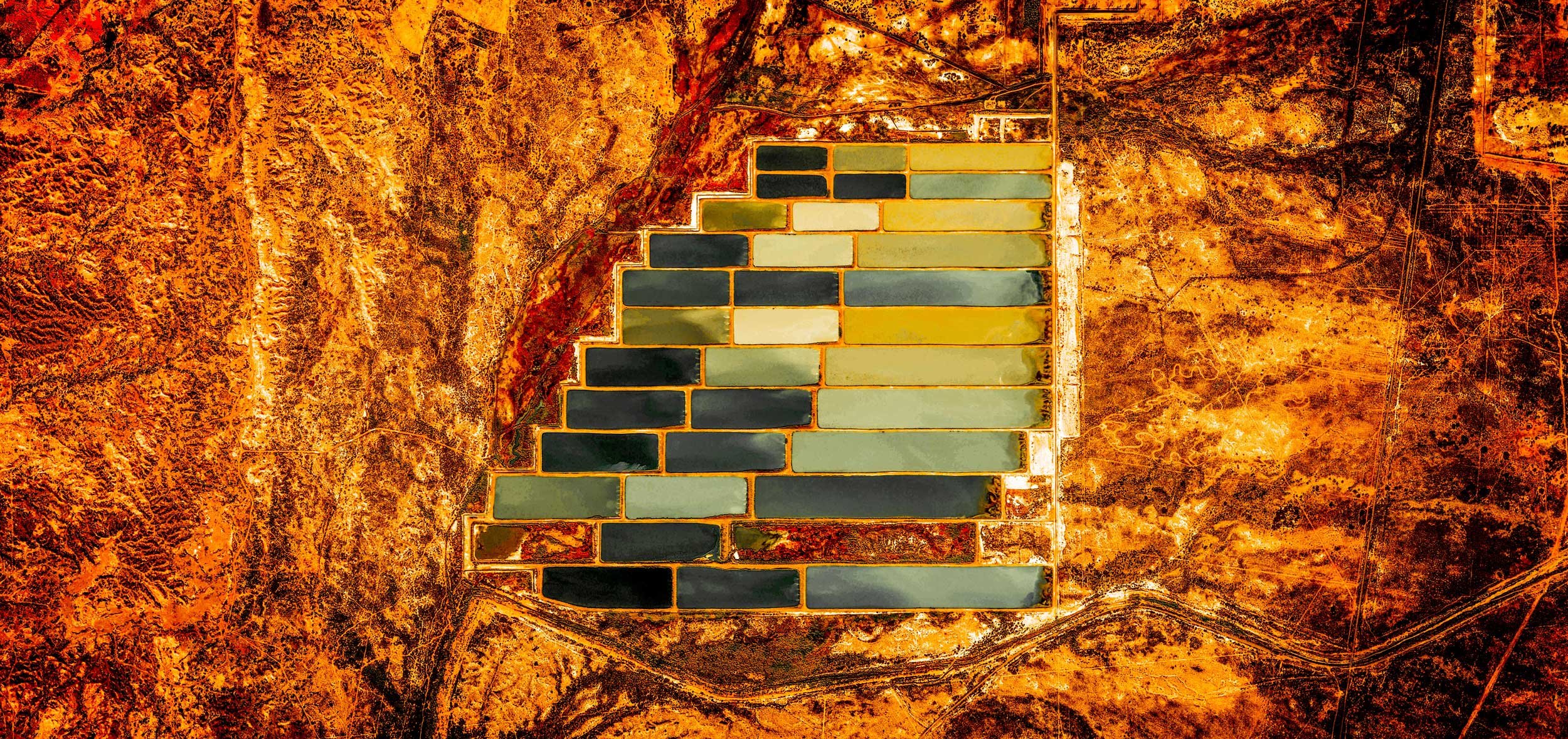
CUBA. Artemisa, Cuba - Ultradistancia Selected

ENTRE LOMAS II. Rio Negro, Argentina - Ultradistancia Selected

TEL AVIV. Tel Aviv, Israel - Ultradistancia Selected

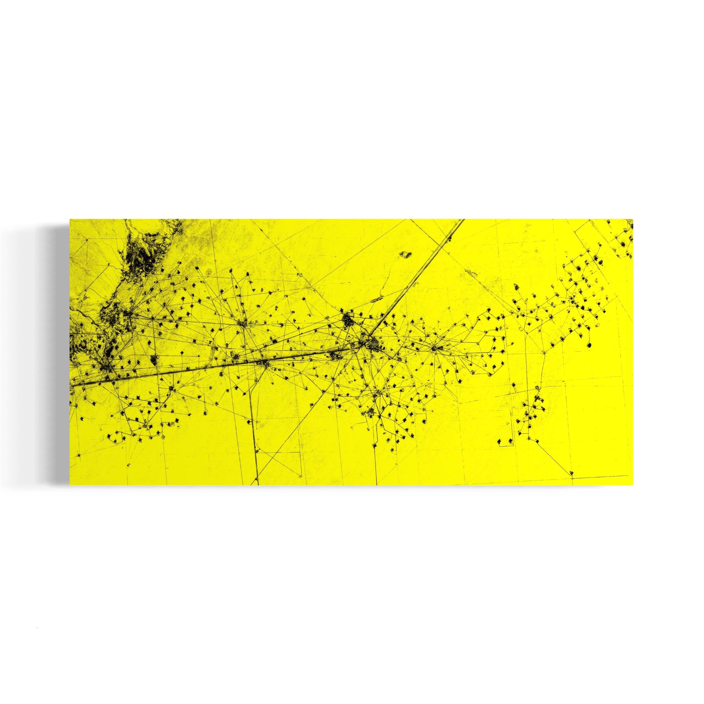
JAISALMER I. Rajastan, India - Ultradistancia Selected
JONES BEACH. New York, USA - Ultradistancia Selected

MARTHA´S VINEYARD I. Massachusetts, USA. - Ultradistancia Selected

MENDOZA. Mendoza, Argentina - Ultradistancia Selected

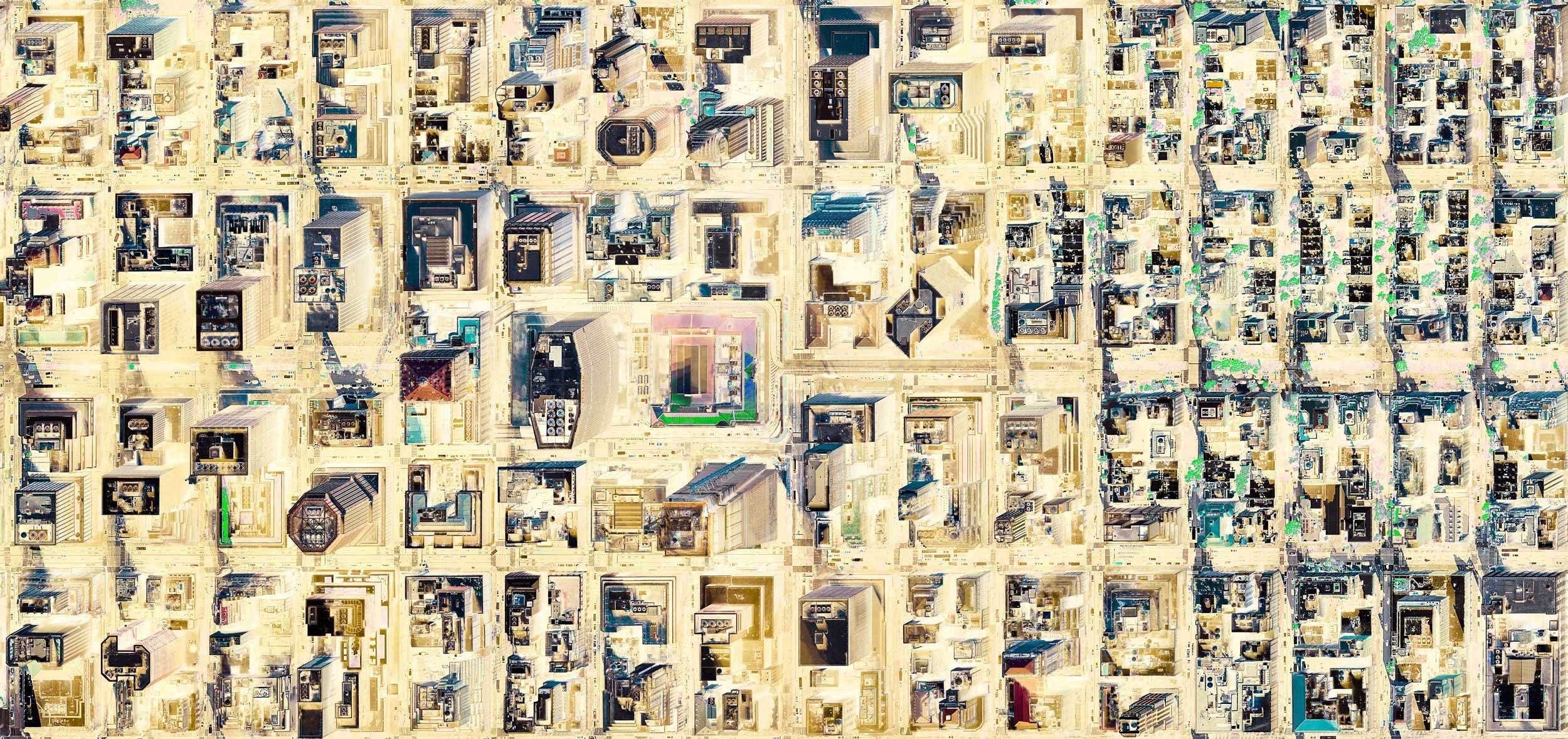
MIAMI MOZAIC. Florida, USA - Ultradistancia Selected

MONTEVIDEO I. Montevideo, Uruguay - Ultradistancia Selected

NAPOLI. Nàpoles, Italy - Ultradistancia Selected

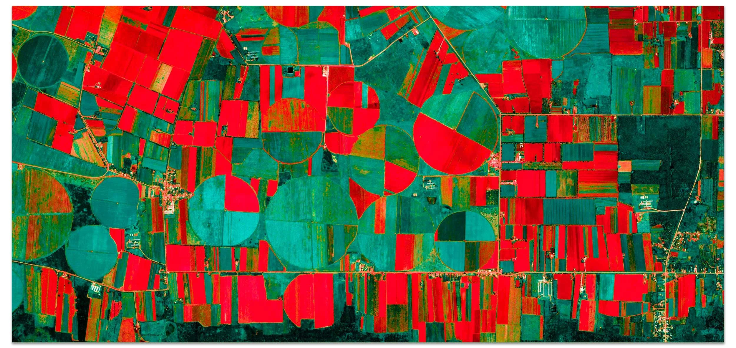
PAMPAS IV Córdoba, Argentina - Ultradistancia Selected

PAMPAS ROJAS. Buenos Aires, Argentina. - Ultradistancia Selected

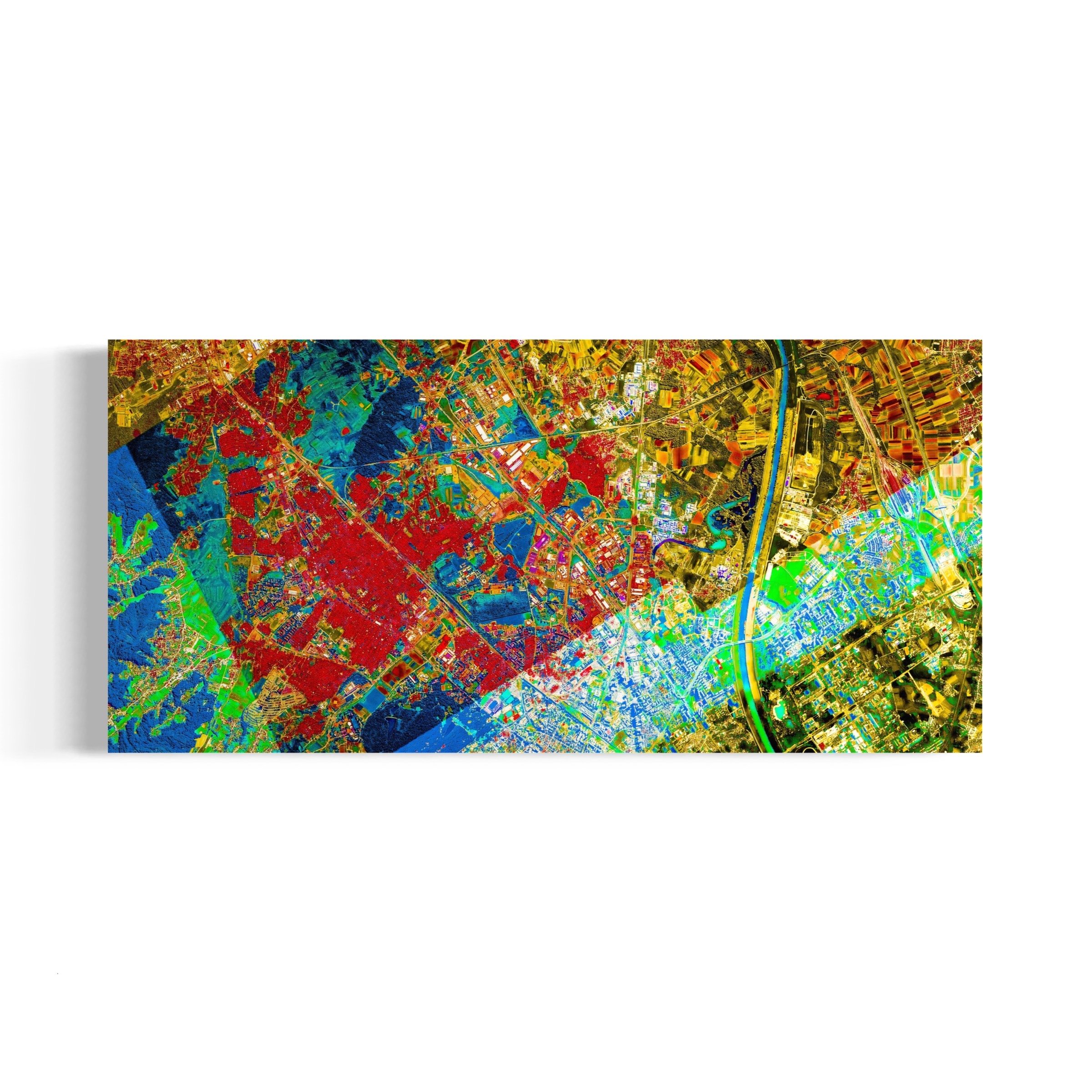
SHAHDARA. New Delhi, India - Ultradistancia Selected

TOLEDO. Castilla-La Mancha, Spain - Ultradistancia Selected

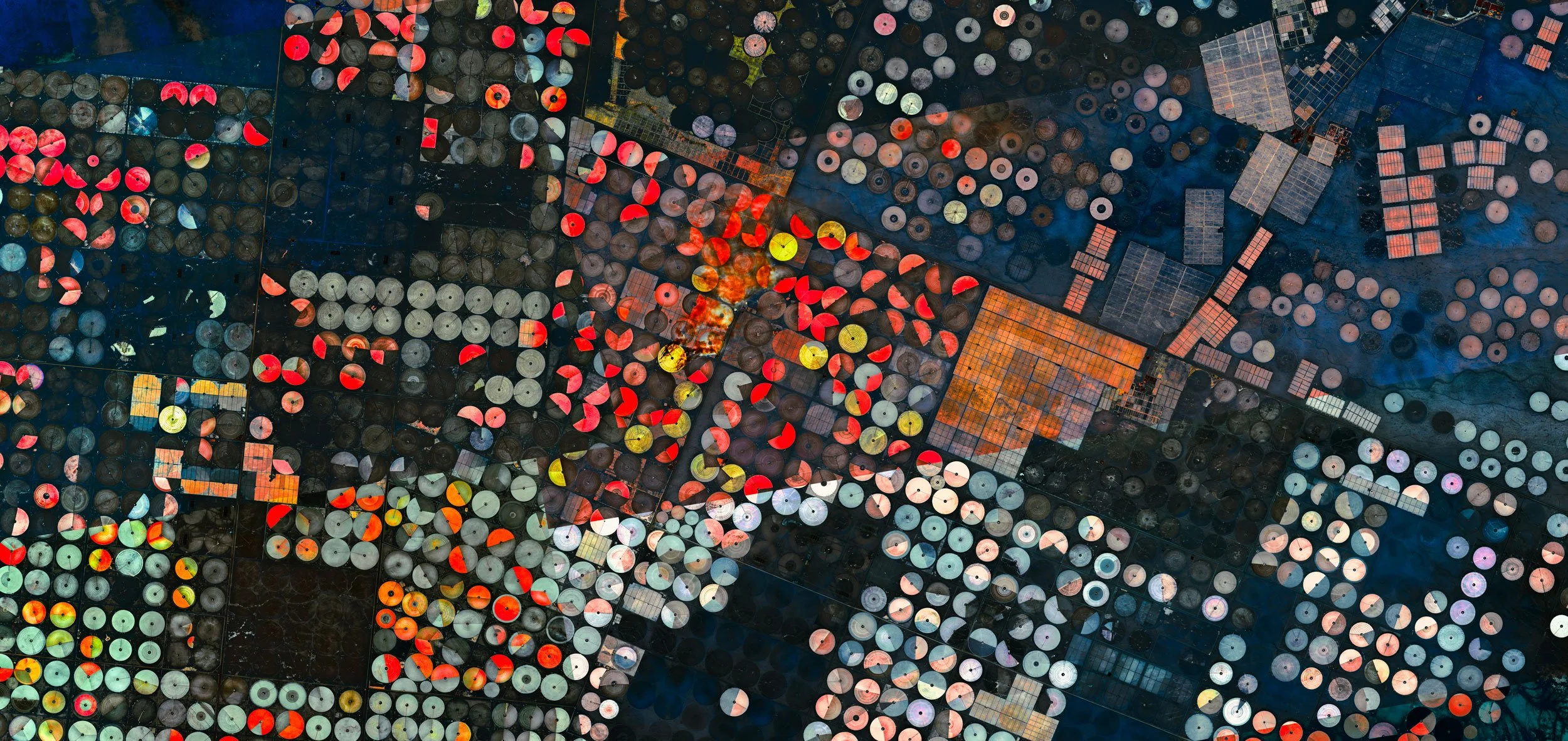
UMM AL SHABRUM. Al Rayyan, Qatar - Ultradistancia Selected

VENICE III. Veneto, Italy - Ultradistancia Selected

ZAGREB. Zagreb, Croatia - Ultradistancia Selected

UTTAM NAGAR. New Delhi, India - Ultradistancia Selected

LARSEN. Wisconsin, USA - Ultradistancia Selected

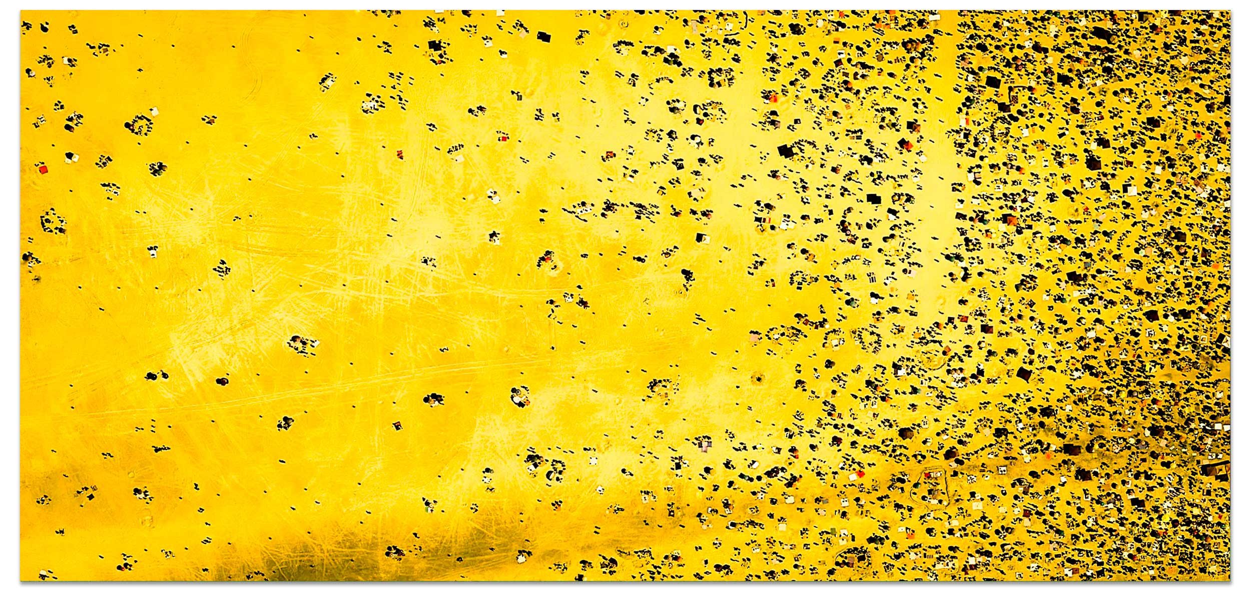
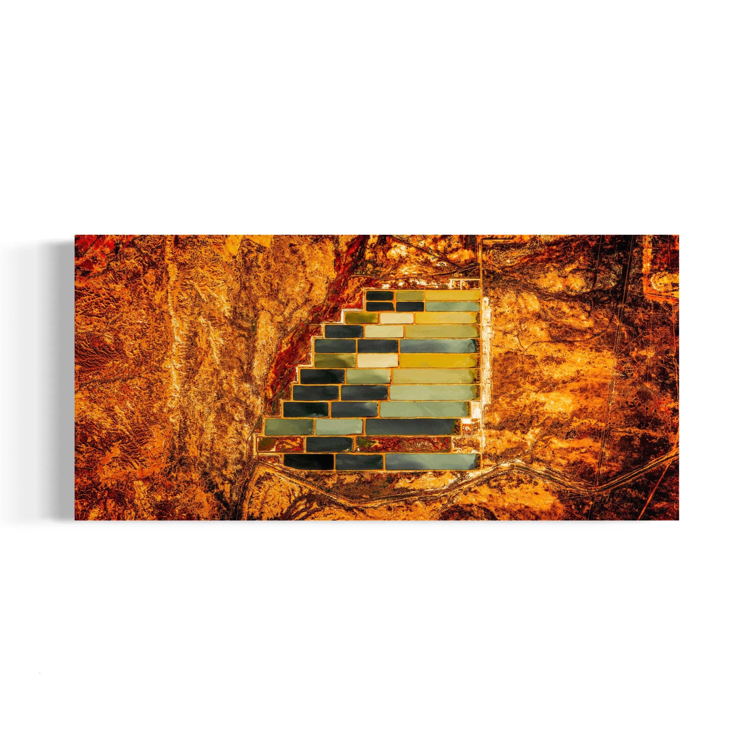
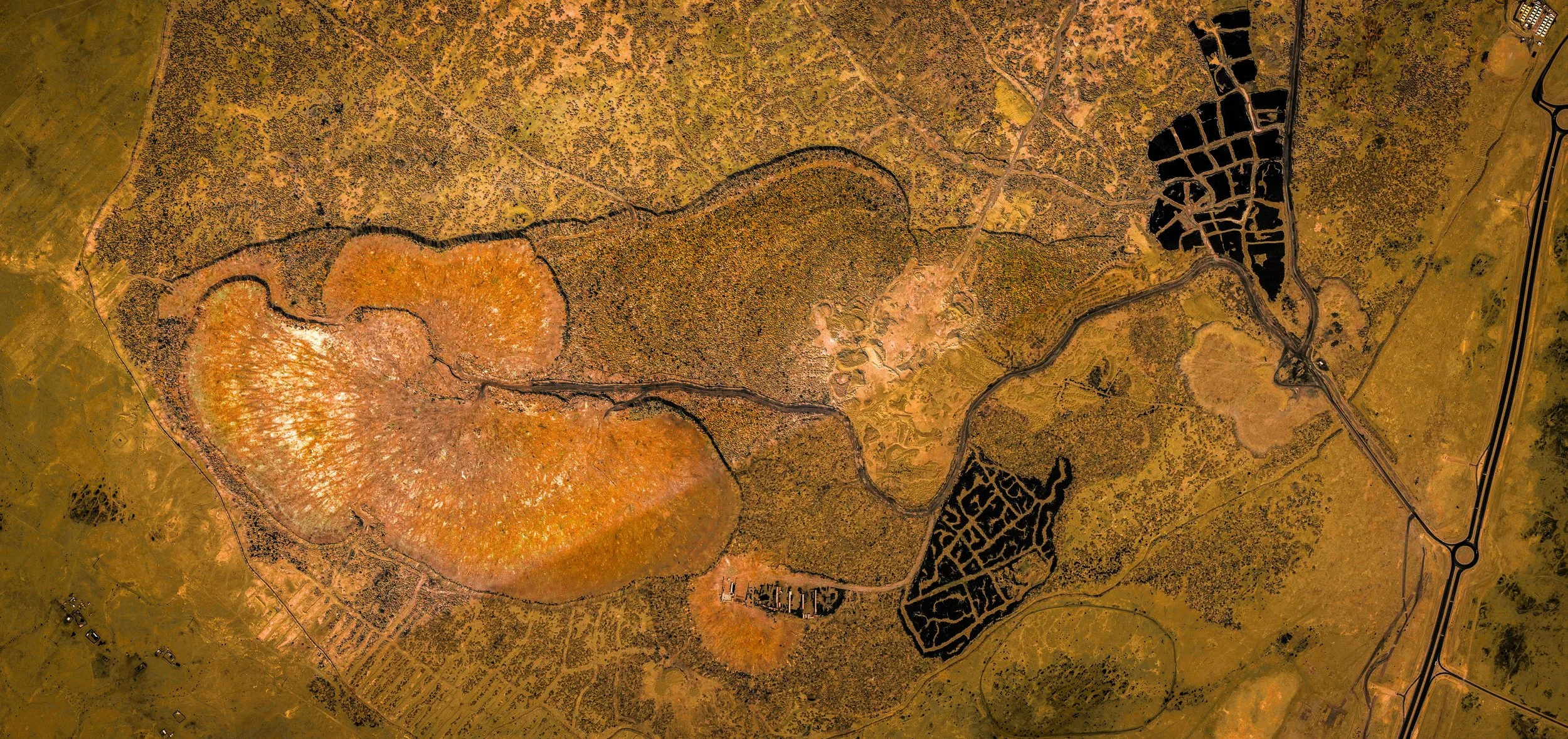
GREAT RIFT BORALE ALE Afar Region, Ethiopia - Ultradistancia Selected
I’ve always been interested in maps. The complexity of political maps, and the beauty of physical ones. They show mankind’s curiosity for our world, and the way we deal with our surroundings. From what is thought to be a schematic of the night sky found in the caves of Lascaux, dating to 16,500BCE, passing through the Babylonian clay tablets, to the maps I used when I was in school, and the ones I show to my students in the University today.
I view maps as a form of art, as a sublime interpretation of the world. As a visual artist, as a photographer, I'm always looking for patterns, forms, geometries, light, and color. Aerial photography and satellite imagery have expanded my ability to find these patterns, geometries, and colors, on the earth's surface.
About Ultradistancia Selected
Ultradistancia is my attempt at making sense of our world, using Google Earth as a starting point. As an avid voyager, Ultradistancia allows me to travel without moving, to scope the immensity of our planet from a computer screen, distort and experiment with forms. The whole world has become my canvas. The result is a kind of aesthetic geography that I want to share with others.
“Argentinian photographer Federico Winer uses Google Earth satellite images to play with the way we see our planet in his long-term project Ultradistancia.”
- The Guardian

PAMPAS IV - Buenos Aires, Argentina - 110 x 52 cm - White Frame with Mat - Installed in Jan Kossen Gallery NY
MUSEO Y BIBLIOTECA - Brasilia, Brazil - 110 x 52 cm - White Frame with Mat - Installed in Jan Kossen Gallery NY
“Winer manipulates satellite images to bring psychedelic hues to farmlands and freeways, sometimes rendering familiar landscapes totally unrecognizable. Even New York’s iconic Central Park looks like some kind of microscopic amoeba in Winer’s hands.”
— Fast Company

PAMPAS ROJAS - Buenos Aires, Argentina - 110 x 52 - White Frame with Mat
“At first glimpse, the images in artist Federico Winer‘s Ultradistancia series look like microchips on acid. In fact, they’re stills from Google Earth’s satellites”
MANHATTAN II - 150 x 71 cm - Acrylic
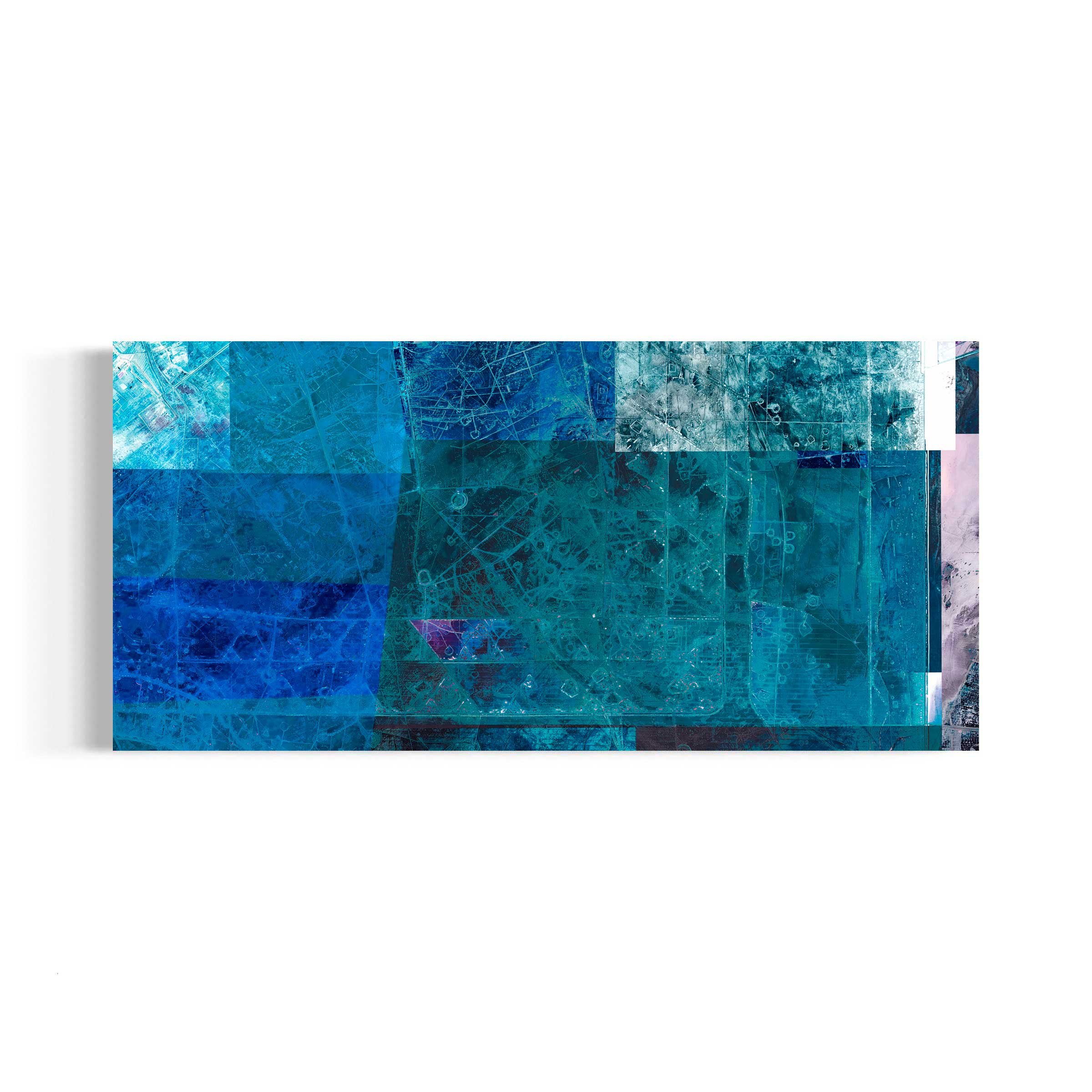


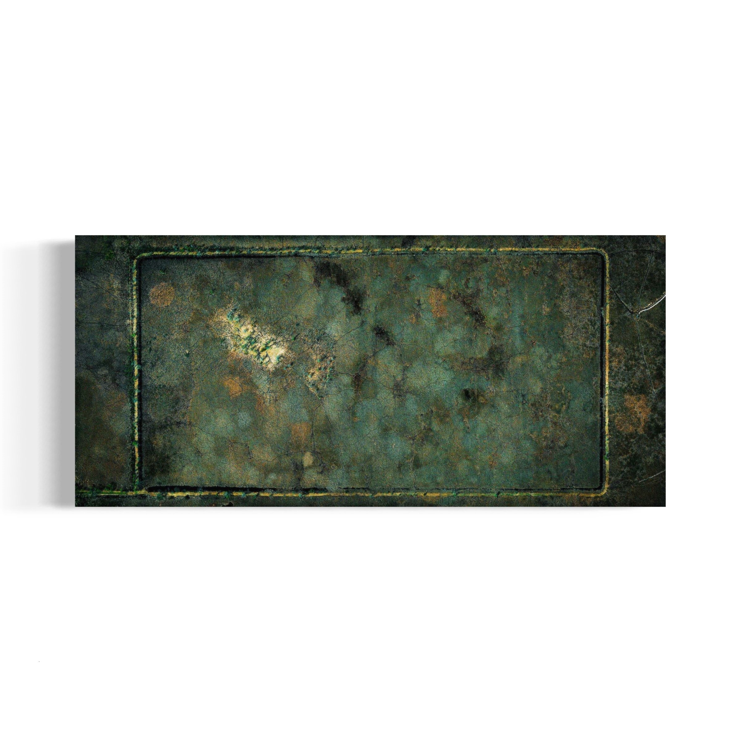

TABARJAL AL JAWF Al Jawf, Saudi Arabia - Ultradistancia Selected

BASRAH Basrah governorate, Irak - Ultradistancia Selected

AL MUSAHIMIYAH I. Al Musahimiyah, Saudi Arabia. - Ultradistancia Selected
UMM AL YABRUM Al Rayyan, Qatar - Ultradistancia Selected

ANTARNES II. Gujarat, India. - Ultradistancia Selected

ARGÜIN. Banc d'Arguin National Park, Mauritania - Ultradistancia Selected

CATUTI II. Minas Gerais, Brazil - Ultradistancia Selected

CUBA. Artemisa, Cuba - Ultradistancia Selected

ENTRE LOMAS II. Rio Negro, Argentina - Ultradistancia Selected

GREAT RIFT BORALE ALE Afar Region, Ethiopia - Ultradistancia Selected

TEL AVIV. Tel Aviv, Israel - Ultradistancia Selected

JAISALMER I. Rajastan, India - Ultradistancia Selected

JONES BEACH. New York, USA - Ultradistancia Selected

LARSEN. Wisconsin, USA - Ultradistancia Selected

MARTHA´S VINEYARD I. Massachusetts, USA. - Ultradistancia Selected
MENDOZA. Mendoza, Argentina - Ultradistancia Selected

MIAMI MOZAIC. Florida, USA - Ultradistancia Selected

MONTEVIDEO I. Montevideo, Uruguay - Ultradistancia Selected

NAPOLI. Nàpoles, Italy - Ultradistancia Selected

PAMPAS IV Córdoba, Argentina - Ultradistancia Selected

PAMPAS ROJAS. Buenos Aires, Argentina. - Ultradistancia Selected

SHAHDARA. New Delhi, India - Ultradistancia Selected

TOLEDO. Castilla-La Mancha, Spain - Ultradistancia Selected

UMM AL SHABRUM. Al Rayyan, Qatar - Ultradistancia Selected

UTTAM NAGAR Delhi, India - Ultradistancia Selected

VENICE III. Veneto, Italy - Ultradistancia Selected

ZAGREB. Zagreb, Croatia - Ultradistancia Selected